
Namaacha district is located in the eastern part of the Province, along the national borders between Mozambique, South Africa and eSwatini. It covers a surface of 2.156 km2.
The first modern urban settlement in the area (the city of Namaacha) dates back to the colonial time (around 1850), originally developed along the EN2 connecting the city to Maputo.
Thanks to the good climate, its natural amenities and the proximity to the border, between 1916 and the 1960s Namaacha became a holiday destination for Portuguese functionaries and their families living in Maputo. Here a series of high-quality low rise villas and hotels have been built to respond to the demand of the European population. In addition, a series of religious orders, Catholic educational institutions and missions have been established, together with the renowned sanctuary of the Nossa Senhora de Fátima (1944) which still retains its importance as a pilgrimage destination at a regional scale, and as a landmark at the urban level.
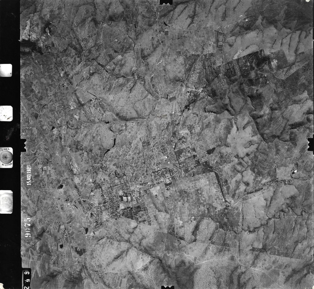
According to the 2013 PEUVN (Plano de Estrutura Urbana da Vila da Namaacha), the most recent urban plan of the city, the development of the urban fabric follows a west-east direction according to an orthogonal grid originally planned to follow the topography of the place (Conselho Municipal da Vila da Namaacha, 2013). It presents heterogeneity in the West zone, with winding streets, where the relief does not allow the development of an orthogonal mesh. In this area some streets are discontinuous.
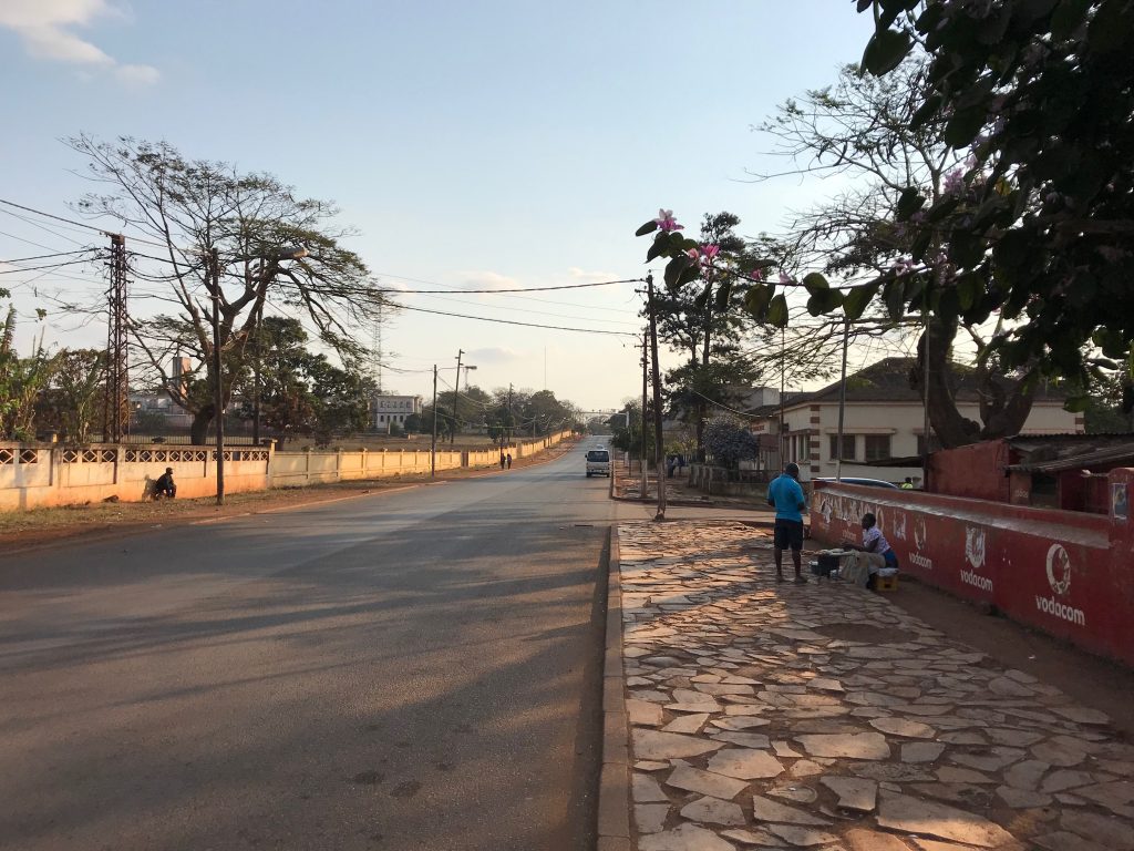
The colonial urban area (zona de cimento) developed in a horizontal line, and is located in a relatively flat strip, whose altitudes vary between 575 and 600m. The main street divided the urban area into two parts, North and South, while the West and East are separated by the sanctuary in the middle of the city.
The zona de cimento – which hosts the public and private buildings with the best conditions in terms of infrastructure and services – grew till the 1960s-70s and experienced stagnation in the later period, especially in the post-independence period up until now, a condition that have been observed also during the fieldwork missions in the area.
85% of the population is concentrated in the central neighbourhoods of Bairro da Fronteira, Bairro A, Bairro A, Bairro 25 de Junho (also called a village). The relative density in these neighbourhoods is significant, but the demographic density in Namaacha, in general terms, is quite low (between 9.8 to 1 Inhabitant per hectare).
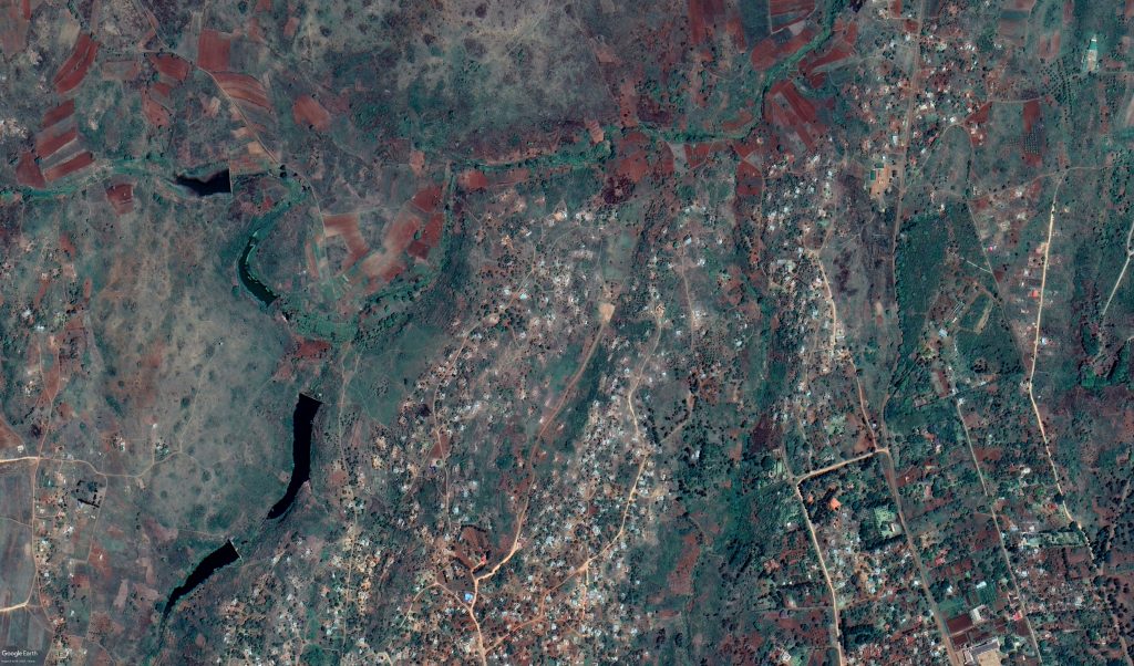
The peripheral neighbourhoods (bairros periféricos) grew substantially in the 1970-96 period spontaneously on the outskirts of the city. These are located in areas with steep incline downstream of the water lines which not have urbanization plans and land use is not defined. These neighbourhoods are inhabited by very low-income people, mostly displaced by war and job seekers in the village. The housing is of poor construction and does not have electricity or running water. Hard soil and rugged terrain do not allow the construction of latrines, so there are areas of little value for home building. Slopes, as in the zona de cimento, have implications for the infrastructure system, particularly road network and natural drainage problems (Conselho Municipal da Vila da Namaacha, 2013, pp. 57-58).
Namaacha has great potential for social, economic, and territorial development, substantiated by several factors, namely:
- Stability and low population density as a potential for social cohesion;
- Being a border city and entry point from eSwatini (even though with less relevant flows in the last years) which may constitute a potential for attracting investment and income for the population;
- Natural resources, material and immaterial heritage (but often poorly maintained) and high-quality educational facilities
In addition, according to the local municipal government, as a result of the interaction of various factors, endogenous and exogenous, Namaacha presents also a series of fragilities, related to its socio-territorial structure and in particular to:
- Poor quality of habitat and fragmentation of the settlement structure and its consequences on mobility and accessibility.
- A disorderly network of unplanned urbanisation and urban sprawl.
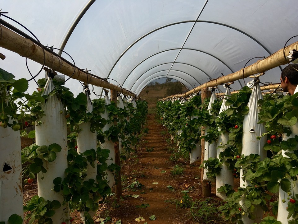
- Water shortage with consequences on agriculture which is practiced on a subsistence scale due to lack of irrigation water.
- Few job opportunities are forcing young people to migrate elsewhere, either within Mozambique, South Africa or eSwatini in search for better job opportunities.
- Connection within the district and between Namaacha and other main centres in the Province of Maputo are hindered by few access roads in poor condition or un-properly paved.
- Uncontrolled burning occurs very often due to local customs in preparing land for cultivation. The lack of local fire brigades makes it difficult to manage uncontrolled fires.
- Unstable power supply as it is brought from Maputo City and not from a nearby source.
- No large-scale hospital. Health centres are very few and Namaacha inhabitants have to go to Matola and Maputo.
The Local Development Project assumes the WEF nexus as main conceptual background and proposes to explore it operatively at a local scale, by rethinking the existing resources and challenges identified, and building new synergies among the local communities, organisations and entrepreneurs.
Thus, the project adopts the main lenses of “Boa Ma Nhã, Maputo!” programme – Balanced Territorial Transitions, Food Production and Security, Water Management, and Energy Production and Access – and integrates them into a territorial vision and local action plan for Namaacha. In coherence with the main challenges and priorities set by local administration, the following goals and actions are defined as early guiding trajectories / fields of intervention for the next stages of the programme:
- Piloting water-sensitive planning guidelines in cooperation with local actors and farmers;
- Supporting technical education and local entrepreneurship, with special attention to women empowerment;
- Re-thinking local food production chain and distribution in relation to existing local markets and potential new activities (ie: food industry);
- Fostering innovation, education and entrepreneurship in religious and eco-tourism activities from the Maputo province and bordering countries / South-African region.